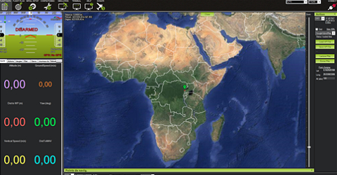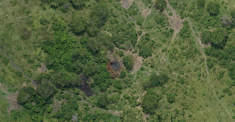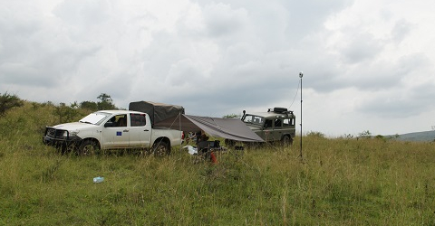
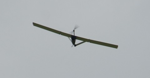
NOur experts, namely C. Chaidron (R&SD), D. Handerek (R&SD) and J. Linchant (ULg), used a fixed wing Falcon. The job consisted in mapping both areas in the northern part of the Virunga National Park. The assignment aimed at obtaining a first very high resolution inventory of both areas which were, until recently, illegally encroached by peasants and cattle. About 10.000 useful pictures were acquired in the course of seventeen flights. Data processing led to an orthophoto based map of Karuruma and Kassaka areas (circa. 5000 ha in area).