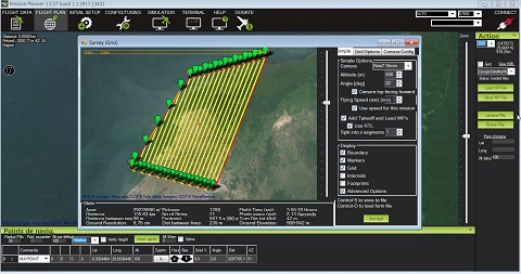
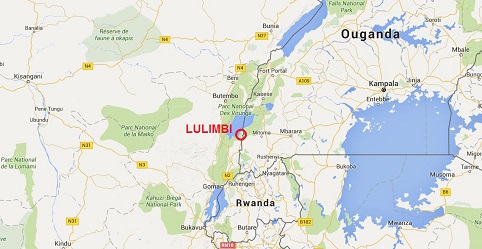
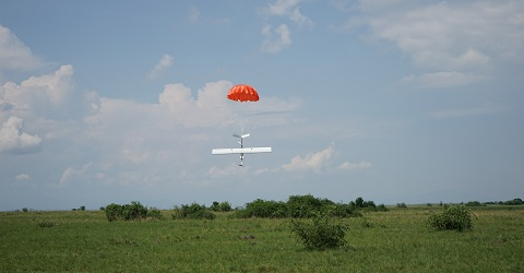
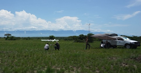
One activity of FCCC Project deals with appraising the capacity of civil drones in fauna conservation, fauna monitoring more specifically. In this scope, an assignment was performed in Virungas National Park with the twin purpose of drone utilization in vegetation mapping and fauna surveys. A fixed wing Falcon was used to survey an area of 70 km² in the vicinity of Lulimbi station. Twenty mapping flights and nine surveys flights were performed over the entire area. Data are being processed.

Préparation du plan de vol.

C. Chaidron, D. Handerek et J. Linchant


